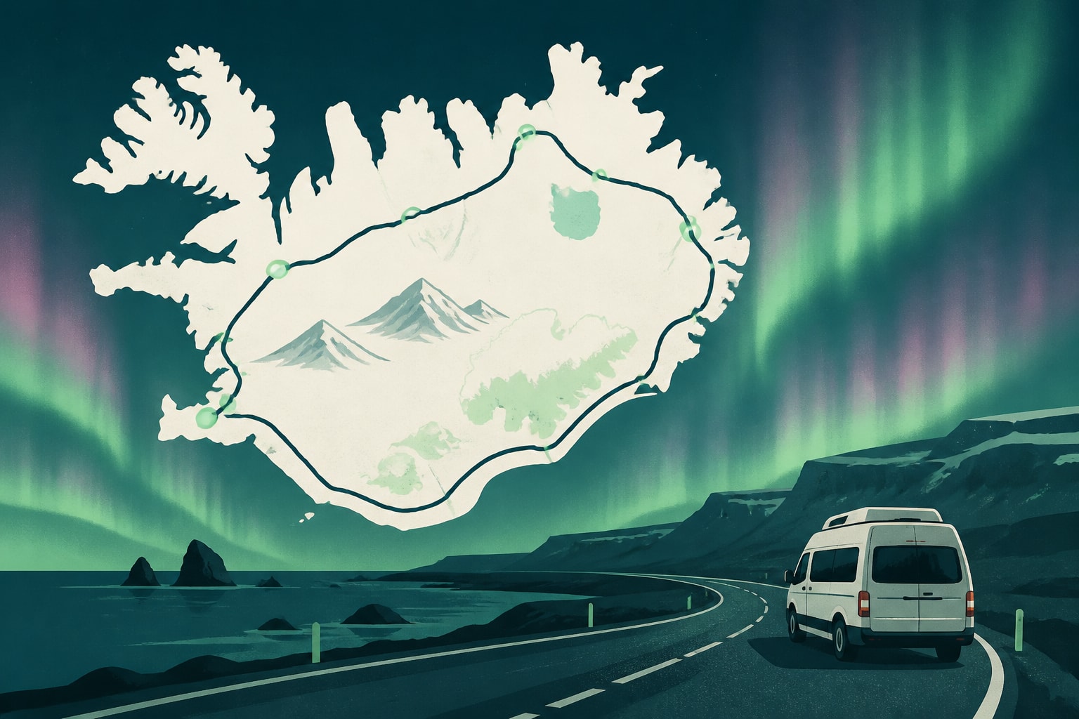
A ring road is a road that loops around a city, region or country, and in Iceland the term means Route 1, the national highway that circles the entire island. The Ring Road covers roughly 1,320 kilometers and connects many of the major towns, waterfalls, glacier lagoons and geothermal areas in the country.
For visitors, the Ring Road is the backbone of most self-drive itineraries. It is paved for most of its length, passes through farmland, lava fields and fjords, and can be driven in a week or stretched across two. Reading this guide will help you decide how long to allow, which direction to travel and what to expect from the road itself.
What Is the Iceland Ring Road?
The Iceland Ring Road, officially Route 1 or Hringvegur, is a continuous highway that runs around the island and links Reykjavik with every region of the country. It was completed when the final bridges across the glacial rivers of the southeast opened, closing a gap that had separated the east from the south.
Much of the route is a two-lane paved road with a single lane in each direction. Short stretches in the east are gravel, though these have been shrinking as sections are repaved. Along the way you pass through small towns such as Vik, Höfn, Egilsstaðir and Akureyri, which serve as natural overnight stops.
The road also crosses several one-lane bridges, so slowing down and yielding to oncoming traffic is part of the routine. These bridges are common in the southeast and the north, and signs warn you well before each one.
How Long Is the Ring Road and How Many Hours Does It Take to Drive?
The Ring Road is about 1,320 kilometers long, and driving it without stops takes many hours of pure driving time. Nobody should plan it that way, because the scenery, weather and photo stops add hours quickly.
Realistic timing depends on how many detours you add:
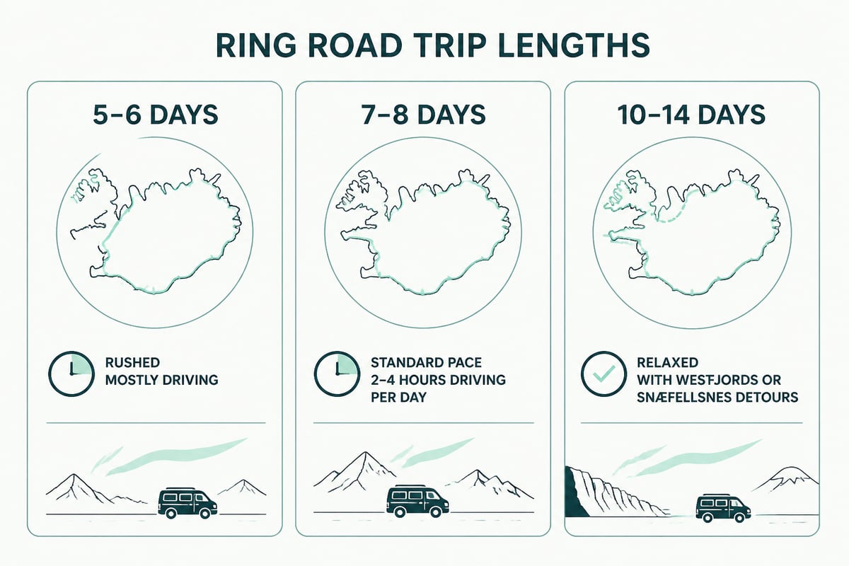
- 5 to 6 days: Possible, but demanding. You will spend most days behind the wheel and see the headline sights only briefly.
- 7 to 8 days: A common choice. It allows a moderate amount of driving per day with time for waterfalls, hikes and one or two geothermal baths.
- 10 to 14 days: Allows detours to the Westfjords, the Snæfellsnes peninsula or the highlands, plus a slower pace and rest days.
Speed limits shape your daily distances. According to Visit Reykjanes, general limits are 50 km/h in urban areas, 80 km/h on rural gravel roads and 90 km/h on asphalt roads unless signs indicate otherwise. Even on the fastest stretches, your average speed will be lower once you account for towns, bridges and weather.
Which Direction Should You Drive the Ring Road?
Both directions work, and the best choice depends on season, daylight and what you want to see first. Most travelers start in Reykjavik and drive counterclockwise, heading south along the coast first.
Counterclockwise (south first) puts the busiest, most famous sights at the start of your trip: Seljalandsfoss, Skógafoss, Reynisfjara and the glacier lagoons. You then continue through the east and reach the north and Lake Mývatn in the second half. Many drivers like this order because the South Coast is an easy stretch of road to settle into.
Clockwise (north first) suits travelers who want to reach the north while they still have energy, or who prefer to finish on the South Coast and return to Reykjavik close to the airport. In winter, some drivers choose this direction when forecasts favor the north early in the week.
Check the weather before you commit. Because the road is open year-round but winter weather can cause temporary closures, flexibility in your direction can save a day.
The Main Regions Along the Ring Road
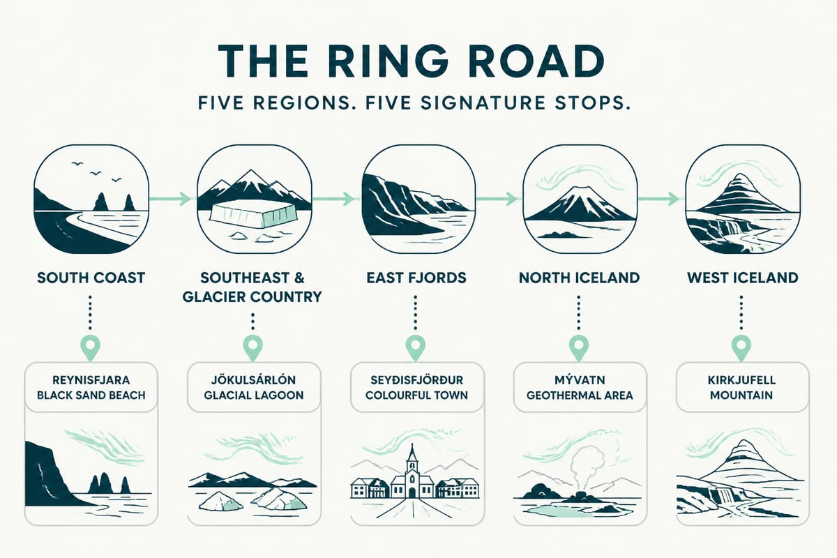
The Ring Road passes through several distinct regions, each with its own landscape and pace. Knowing them helps you divide a week sensibly.
South Coast
From Reykjavik to Vik you pass some of the best-known waterfalls and black sand beaches in the country. Seljalandsfoss and Skógafoss sit just off the road, and the cliffs at Reynisfjara are a short drive beyond. If you want to see more of the nearby inland sights first, our Golden Circle route guide covers the Thingvellir, Geysir and Gullfoss loop that many travelers add before heading south.
Southeast and Glacier Country
Beyond Vik, the road crosses the Mýrdalssandur plain and enters Vatnajökull National Park territory. Skaftafell, Fjallsárlón and Jökulsárlón are the highlights, and Höfn makes a practical overnight stop. Glacier hikes and ice cave tours operate in this region in winter.
East Fjords
The road winds along narrow fjords and over mountain passes, with small fishing villages in between. This is one of the quieter stretches of the route, and driving times are longer than the map suggests because of the curves. Egilsstaðir is the main service town.
North Iceland
Lake Mývatn, Goðafoss, Dettifoss and the whale-watching town of Húsavík fill this section. Akureyri, the largest town outside the capital area, is a comfortable base. The Grjótagjá cave near Mývatn is one of the more unusual stops.
West Iceland
Heading back toward Reykjavik, you pass through the Borgarfjörður area. Detours to the Snæfellsnes peninsula are popular because it offers a compact mix of mountains, lava and coast.
Sample Ring Road Itineraries
A seven-night plan covers the main sights at a steady pace, while longer trips add detours and slower days. These are starting frameworks, not fixed schedules, and weather will shift them.
Seven-night outline
- Night 1, Reykjavik area: Arrive, collect the car or stay in town.
- Night 2, Vik: Waterfalls and black sand beaches on the way.
- Night 3, Höfn or Skaftafell area: Glacier lagoon and ice beach.
- Night 4, East Fjords or Egilsstaðir: The slow, winding drive east.
- Night 5, Lake Mývatn area: Geothermal sites, lava fields and Goðafoss.
- Night 6, Akureyri or the north coast: Whale watching or a town evening.
- Night 7, back toward Reykjavik: Cross the west, then return to the capital.
Ten to fourteen days
Longer trips can add the Westfjords, which have rugged roads and very few visitors, or a Snæfellsnes loop with Kirkjufellsfoss and the surrounding coast. Extra days also allow a glacier hike or a soak in a geothermal bath without rushing.
Driving the Ring Road: Rules and Conditions
Driving the Ring Road is straightforward for most licensed drivers, but a few Icelandic rules differ from what visitors expect. The most important are listed below.
- Headlights on at all times: Drivers must use headlights day and night, according to Visit Reykjanes.
- Check road conditions daily: Winter storms, ice and wind can close sections, and mountain roads often stay shut well into summer. Most mountain roads remain closed until the end of June or later because of snow and mud, according to Visit Reykjanes.
- Respect one-lane bridges: The car nearer the bridge usually has priority, but slow down and be ready to give way.
- Stay on marked roads: Off-road driving is illegal and damages fragile terrain.
- Fuel up often: Stations are spaced far apart in the east and north, so refill whenever the tank drops below half.
Winter driving is a different experience from summer. Daylight in December is very short, roads can be icy and gusts can be strong enough to endanger car doors. If you are not comfortable with winter conditions, consider alternatives to self-driving for part of your trip.
The Ring Road After Dark: Northern Lights Along the Route
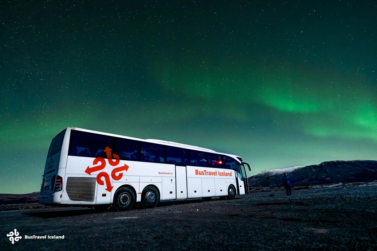
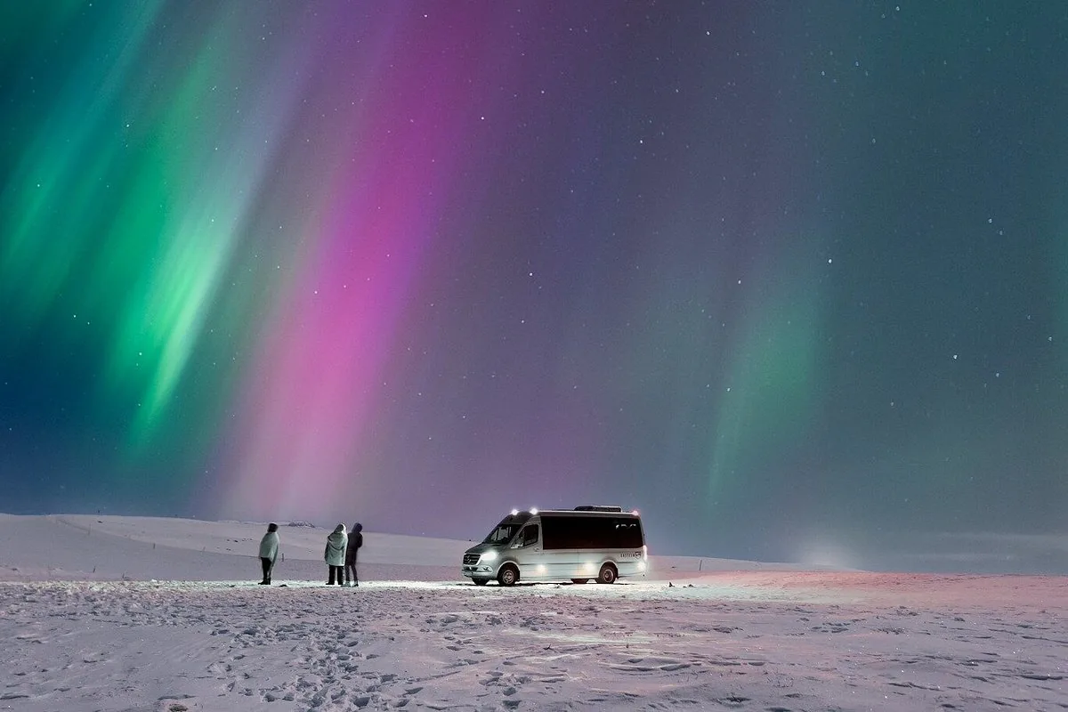
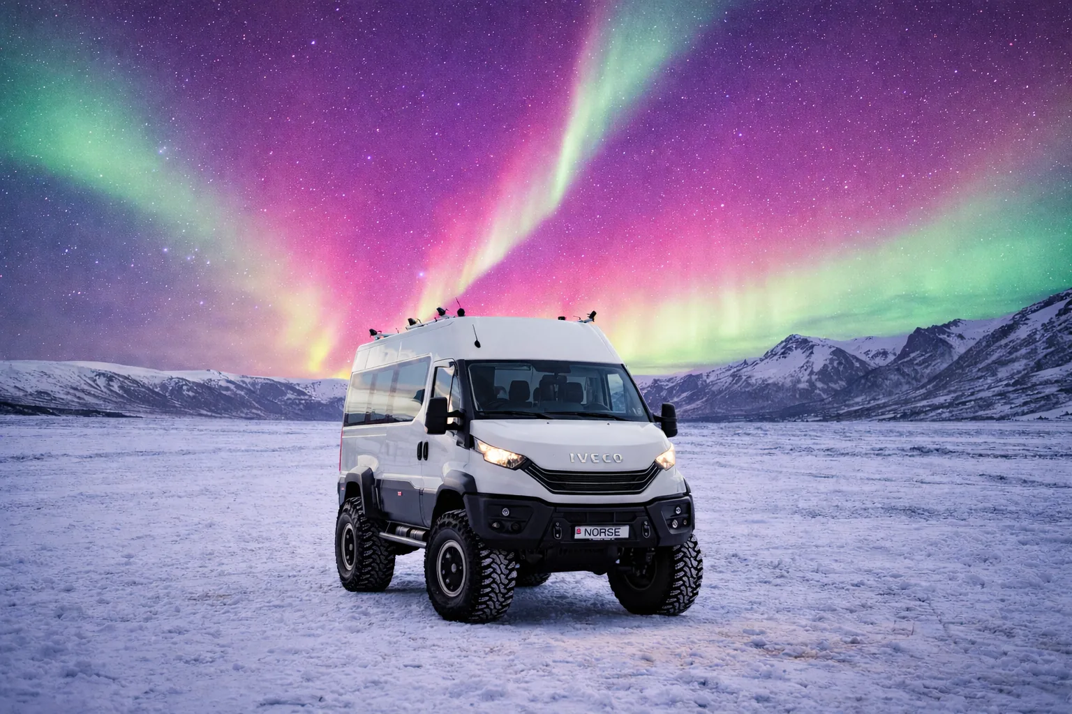
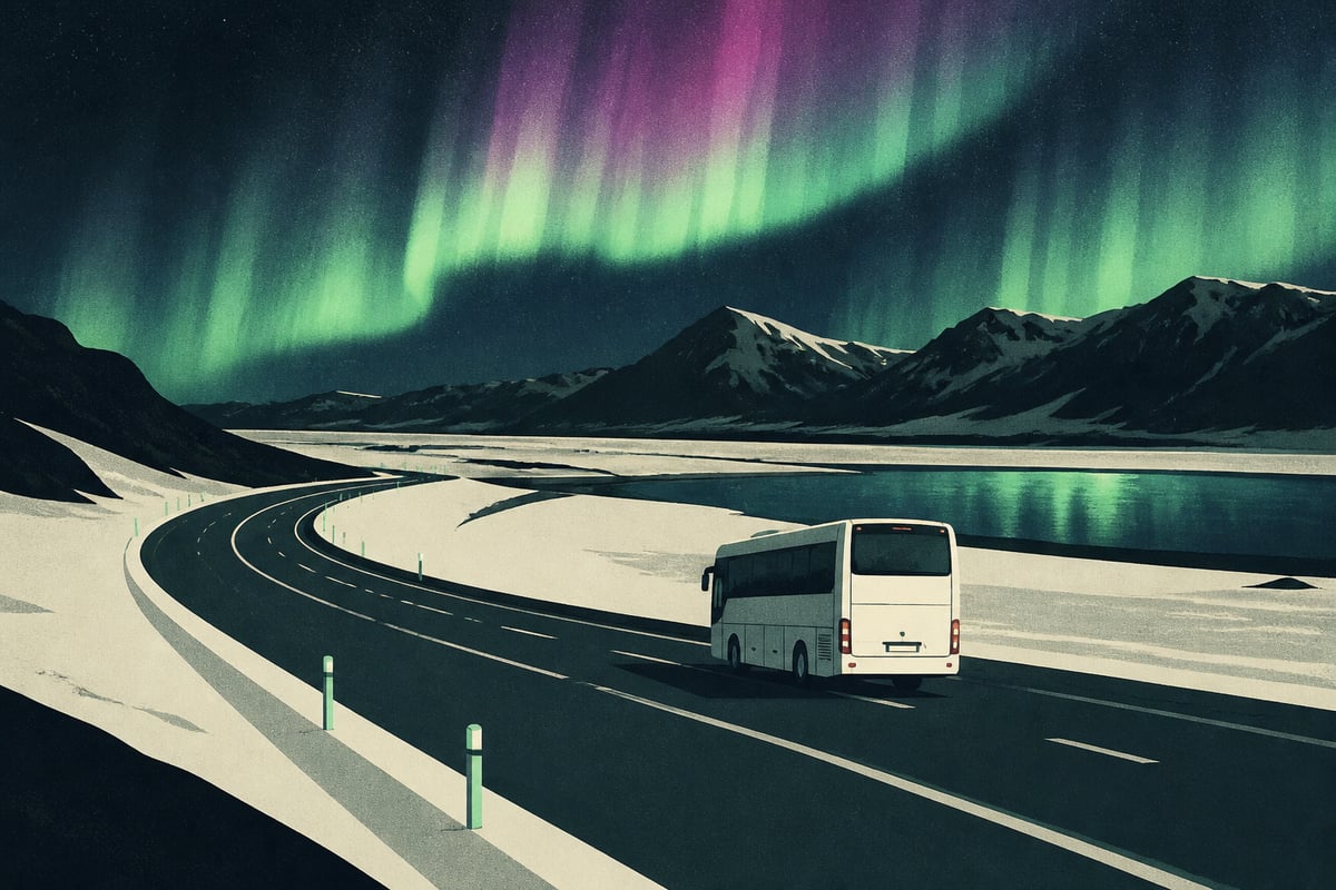
The same road that carries drivers past waterfalls by day becomes a northern lights corridor after dark, from roughly September through early April. Because the Ring Road passes through some of the least light-polluted areas of the island, spots in the east, north and southeast can offer dark skies close to the highway.
There is a practical catch for self-drivers. Aurora chasing means driving unfamiliar roads at night, often in cold, wind or snow, while also watching the sky and the forecast. Cloud cover can vary sharply from one valley to the next, and a clear sky one hour away may be invisible from your hotel.
Many travelers split their trip to avoid this problem. They self-drive the Ring Road by day and book a guided evening for the aurora, either at the start or end of the trip in Reykjavik. A guide who watches cloud patterns and aurora activity in real time can reposition the group, which a single car cannot do easily.
Ring Road vs Golden Circle
The Golden Circle is a short loop from Reykjavik that covers Thingvellir National Park, the Geysir geothermal area and Gullfoss waterfall, while the Ring Road is the full island circuit. The two are not alternatives so much as different scales of trip.
| Feature | Golden Circle | Ring Road |
|---|---|---|
| Length | Short loop from Reykjavik | About 1,320 km circuit |
| Time needed | One day | 7 to 14 days |
| Starting point | Reykjavik | Reykjavik or any town on Route 1 |
| Best for | Short stays, day trips | Extended road trips |
Many itineraries combine them: a Golden Circle day at the start, then the Ring Road in a counterclockwise direction. If you only have two or three days in Iceland, the Golden Circle plus a South Coast day trip is a more realistic plan than attempting a partial Ring Road.
Is Driving the Entire Ring Road Worth It?
For visitors with a week or more, driving the Ring Road is the most complete way to see the country, and it can be done safely in summer by most drivers. The trade-off is time: a large share of any Ring Road trip is spent in the car.
Shorter stays are better served by a base in Reykjavik with day trips. From the capital you can reach the Golden Circle, the South Coast and the Reykjanes peninsula without changing hotels, and you can add an evening aurora tour without worrying about night driving. For a sense of what lies off the main route, the Westfjords guide shows how much of Iceland sits just beyond the highway.
Is Closing the Ring Road a Real Possibility?
Temporary closures are common in winter and occasionally in other seasons, though they are usually brief. Wind, snow, flooding and volcanic or glacial activity can all shut sections, and travelers should check official road conditions each morning. Build one spare day into longer itineraries so a closure does not cost you a major stop.
FAQ
What defines a ring road?
A ring road is a road that circles a city, region or country, often to move traffic around a center rather than through it. In Iceland the term refers to Route 1, which loops around the whole island. In cities, a ring road is usually a bypass built to relieve congestion.
What is the largest ring road in the world?
Iceland's Ring Road is not the largest, since national loops in other countries can be far longer. Iceland's route is a well-known national ring road for travelers because it covers a whole island in a manageable trip.
Can you drive the Ring Road in winter?
Yes, the Ring Road is open year-round, but winter conditions can close sections temporarily. Daylight is short, roads may be icy and wind can be severe, so check forecasts and allow flexible days.